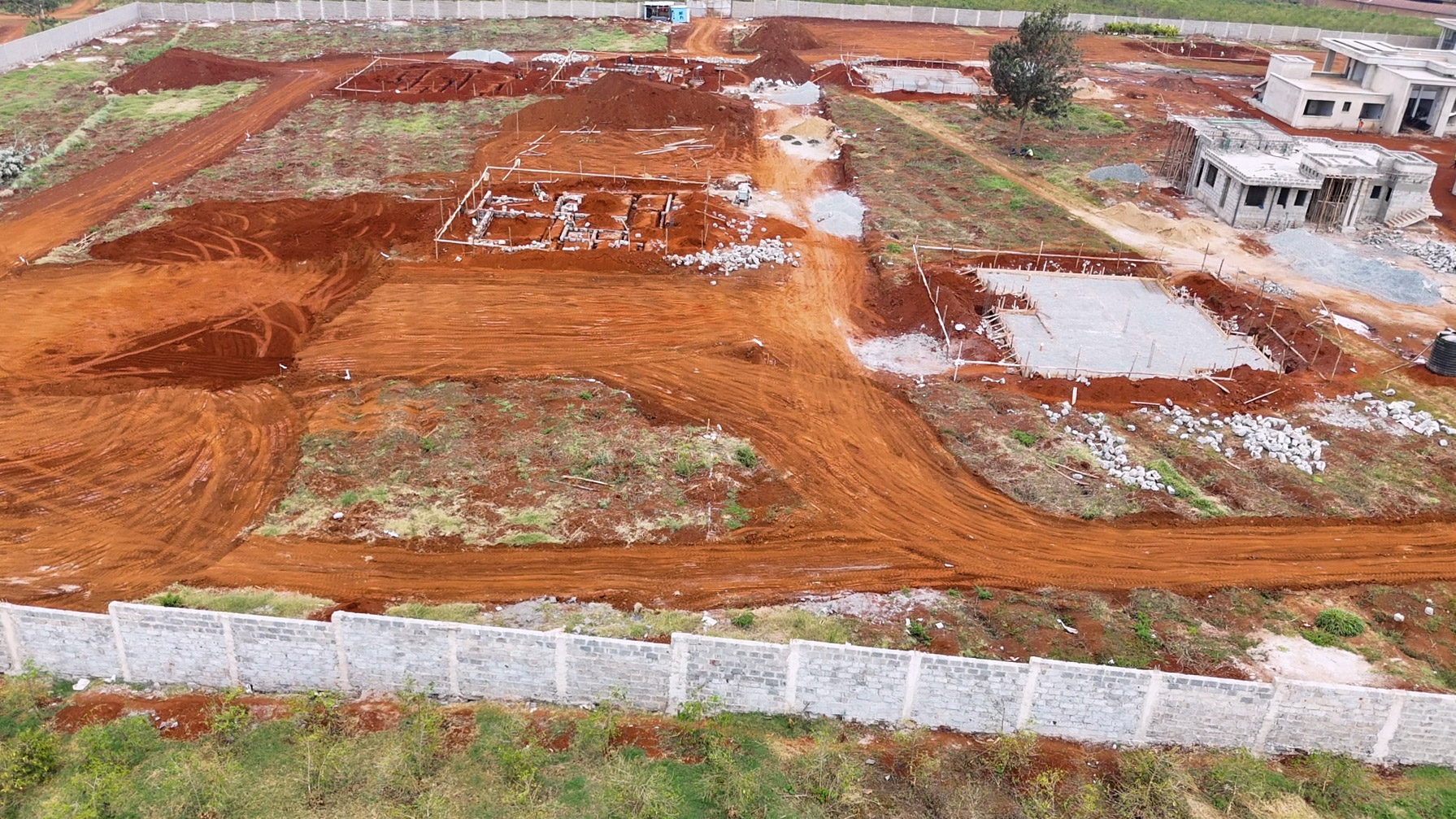
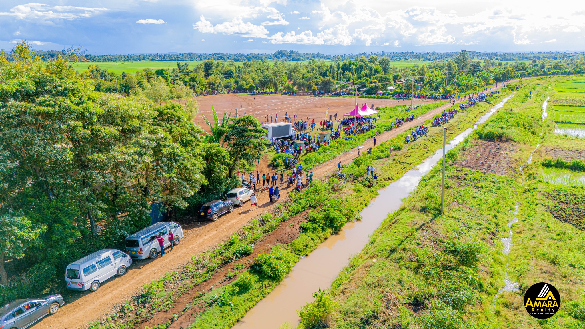
At Tranquil Land Dealers, we harness the power of drone technology to bring you a clear, detailed, and accurate view of your property or land investment. Our professional drone services offer high-quality aerial photography and videography to help you make informed decisions with confidence.
🌍 Our Drone Services Include:
Aerial Land Surveys – Get precise, bird’s-eye visuals of property boundaries, terrain, and access roads.
Real Estate Showcases – Professionally edited drone videos that beautifully present your property for marketing or documentation.
Progress Monitoring – Track the development of your land or construction projects with regular aerial updates.
Inspection & Mapping – Advanced mapping and inspection for large tracts, farms, or remote sites.
With our licensed drone operators and advanced imaging tools, we provide clarity from above — ensuring you see the full picture before making important decisions.
📸 Experience your land like never before — from a whole new angle!