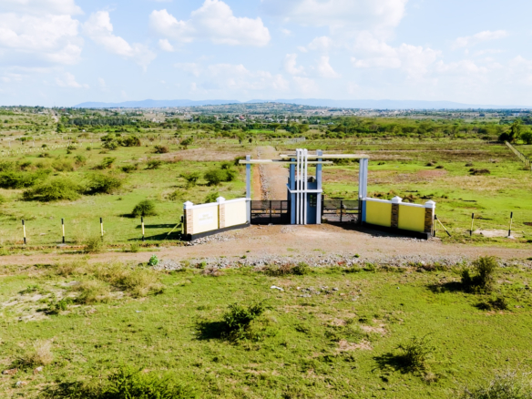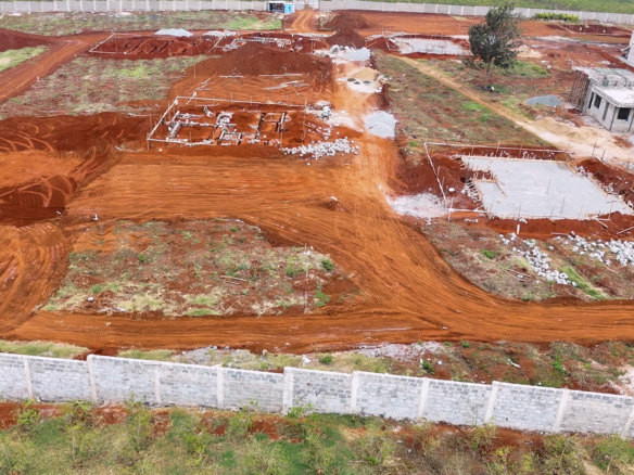

Gone are the days of relying solely on maps or ground visits to understand a piece of land. With drone technology, buyers can now get an aerial perspective — seeing every corner, boundary, and access road in stunning detail.
Benefits of Drone Land Surveys
-
Better Clarity: Aerial views help you visualize the true size, shape, and terrain of a plot.
-
Faster Decisions: With clear drone imagery, you can quickly compare properties without multiple site visits.
-
Transparency: Drone footage provides proof of location and condition, building trust between buyer and seller.
-
Marketing Edge: Sellers can use drone videos to showcase land in a professional, engaging way.
How Tranquil Land Dealers Uses Drones
We use advanced drones to capture high-resolution photos and videos of properties — giving our clients a full understanding before they invest. From mapping to marketing, our drone services make land transactions smoother and more accurate.
Conclusion
Drone technology is transforming Kenya’s real estate industry — making land buying smarter, faster, and more transparent. With Tranquil Land Dealers, you get more than just land — you get a clear view of your future. 🌅